Modern farming and the far East
To start off, two basic facts. First, Iceland is a fairly big island. At a little over 100 thousand square kilometers it’s larger than for instance Hungary, Austria, The Czech Republic and South Korea. In practical terms this makes driving around the island a considerable (Route 1, the Ring Road, is 1,332 km or 828 mi). Even reaching the places that are furthest away from Reykjavík–parts of the Western fjords, the Eastern fjords and the Northeast–can take up to 8 hours of solid driving. Fact number two is that making the trip to Iceland’s further reaches can be incredibly rewarding, both in terms of getting away from the more popular stops around Reykjavík and more importantly for a chance to discover something more unique.
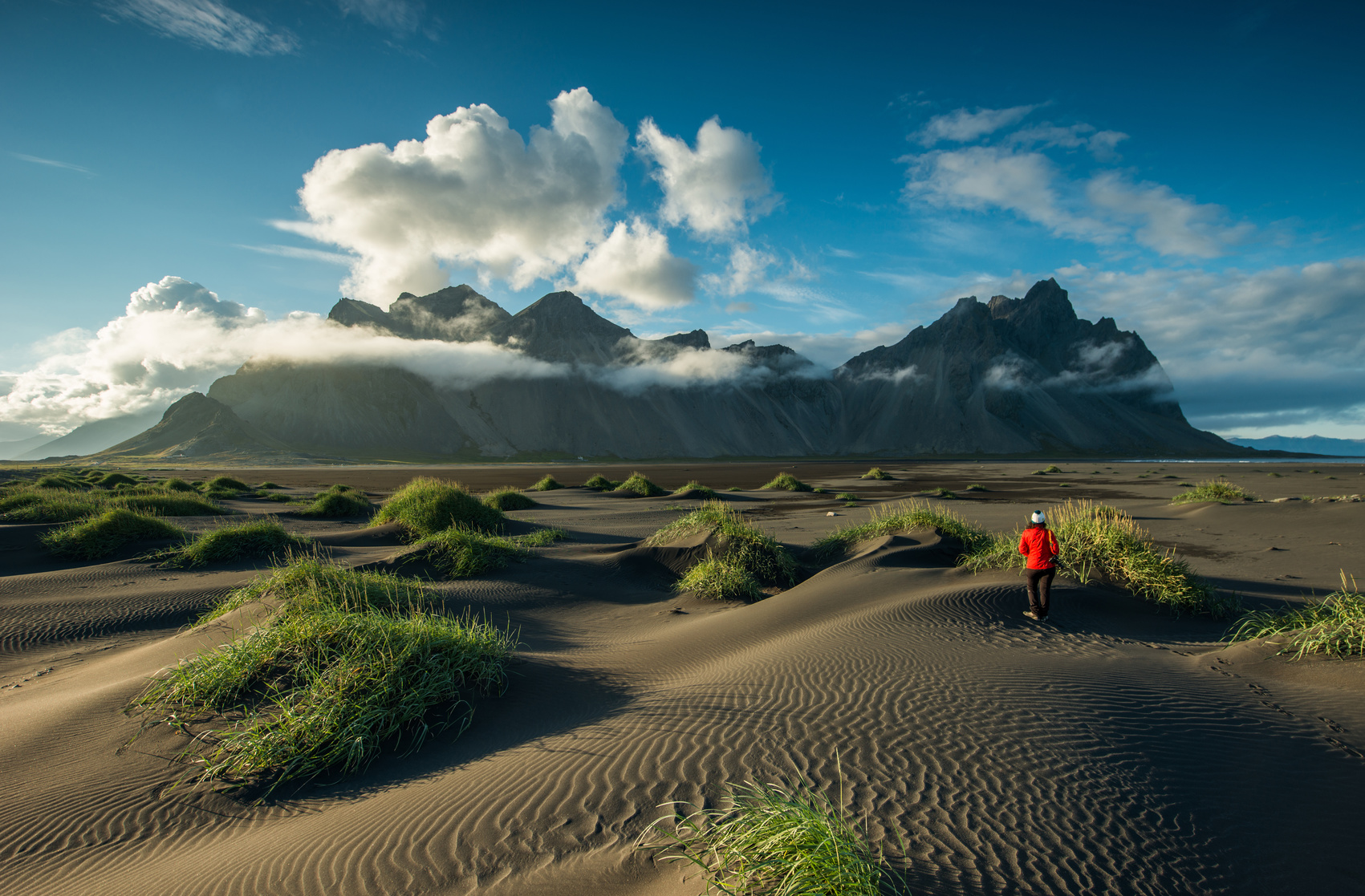
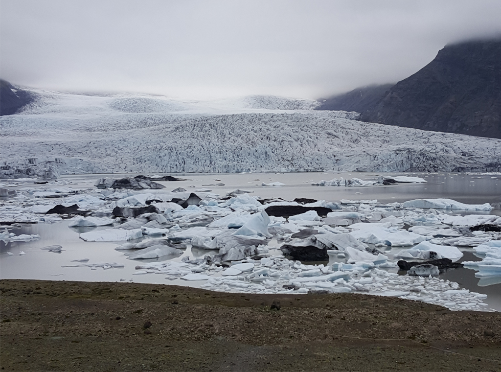
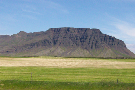
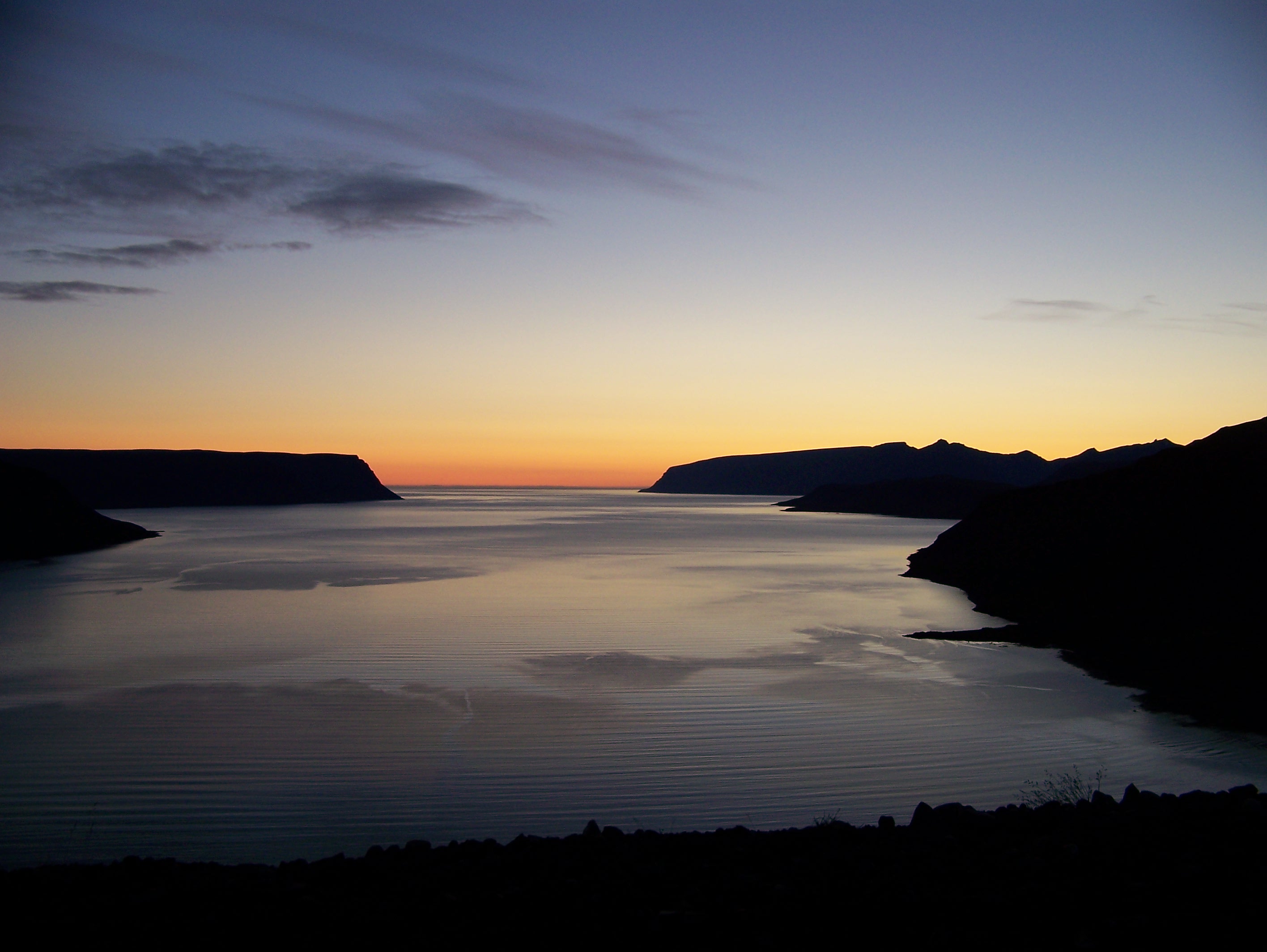
Vestrahorn mountains
We believe that our mini campers are ideal to make longer trips as our customers can travel at their own pace and without worrying about booking accommodation, catching buses etc. The area we want to describe this time is around Berufjörður in the east, with an emphasis on the modern style farm Karlsstaðir.
Karlsstaðir in Berufjörður is around 550 kilometers (a 6hrs 45mins drive) away from Reykjavík so we would advise that you take a few days for the visit. It’s no fun to see the entire southern side of Iceland through a car window so we recommend taking two days for driving each way. There are a great many stops along the way, some of which we’ve written about earlier (see here:
http://blog.icelandminicampers.is/2016/01/27/hiking-in-the-southeast-and-icelands-other-big-writer/).
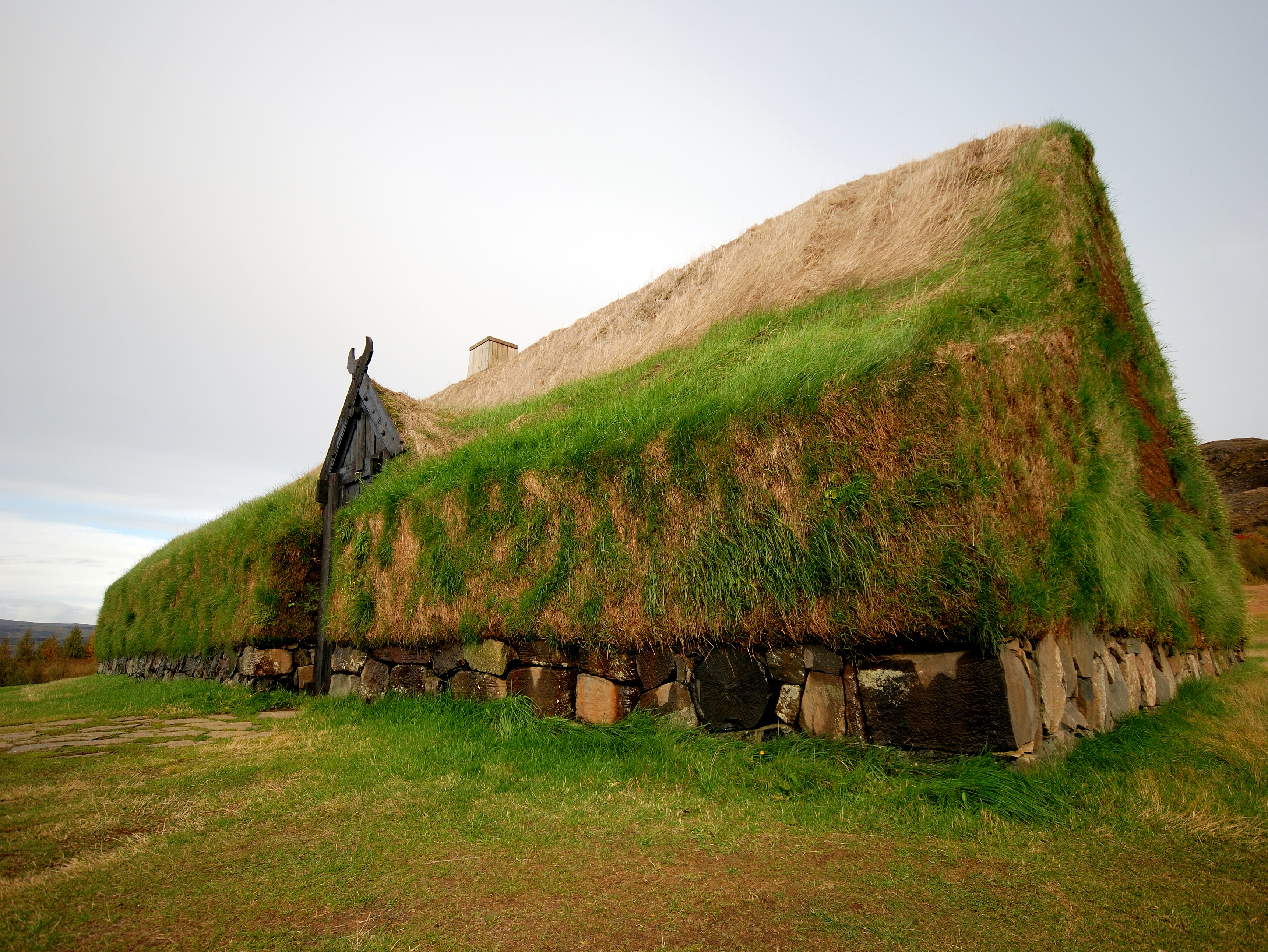
What makes the farm Karlsstaðir so special is its modern take on farming. Musicians Svavar Pétur and Berglind (who play together as Prins Póló and Skakkamanage) bought the farm a few years ago and made drastic improvements in production. Instead of the traditional Icelandic farming methods of rearing sheep and cows and growing grass to feed them over winter the farm at Karlsstaðir now focus on making organic food such as vegan sausages and chips from turnips and kale. Karlstaðir also has artist residencies and a café/restaurant that doubles as a concert venue during the summer months (from April 1st to the 1 October 1st) and on special occasions (more info here: https://www.facebook.com/hahavari/ or here: http://www.havari.is). The ever-industrious farmers at Karlsstaðir plan to open a campsite next summer but in the vicinity there are several campsites, such as in the neighboring towns of Djúpivogur and Breiðdalsvík (more info here: http://www.east.is/en/where-to-stay/camping).
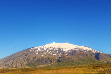
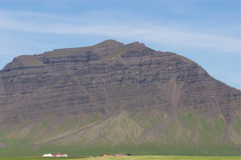
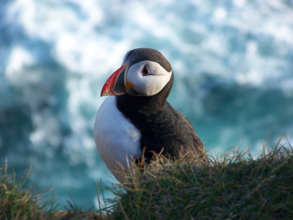
From the beautiful mountain peaks behind Karlsstaðir farm to the pyramid shaped Búlandstindur, the general area is home to some of the most stunning mountain views Iceland has on offer. Other activities would include visiting the quaint small villages for cafés and museums, such as the wonderful open-air stone and mineral collection in Stöðvarfjörður (see here: http://www.steinapetra.is). Also, keep an eye out for reindeer in the mountains and seals slumbering on the shore. For more ideas and info see here: http://www.east.is/en

Stöðvarfjörður
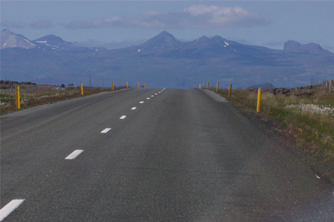
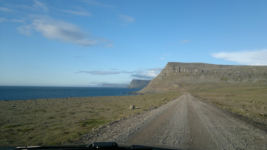
As in most other parts of Iceland, swimming pools are abundant in the Eastern fjords, which also serves to make the region ideal for motor home exploration. Since some of these areas are quite remote, there are still some gravel roads in the area which require extra careful driving so we recommend you drive slower and brake from time to time to test road grip.
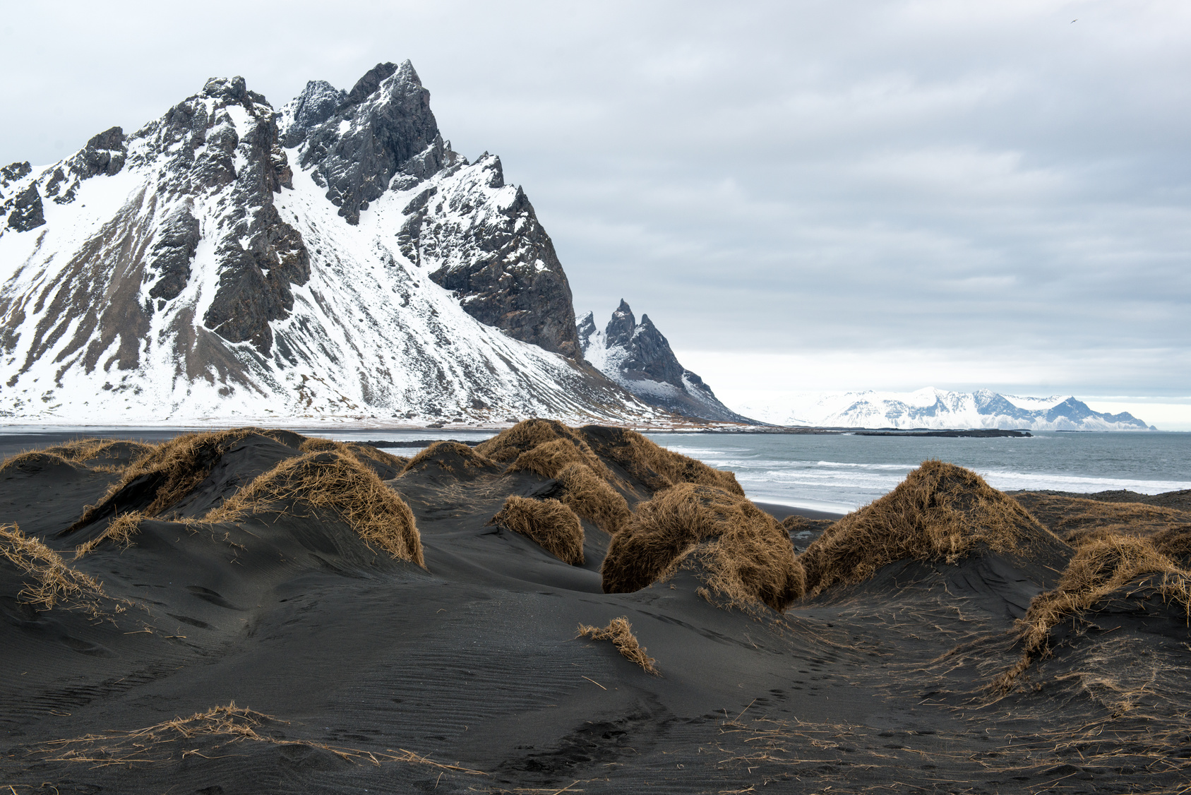
Vestrahorn mountains in winter
Above all, make lots of stops, take it easy and have fun!
IMC